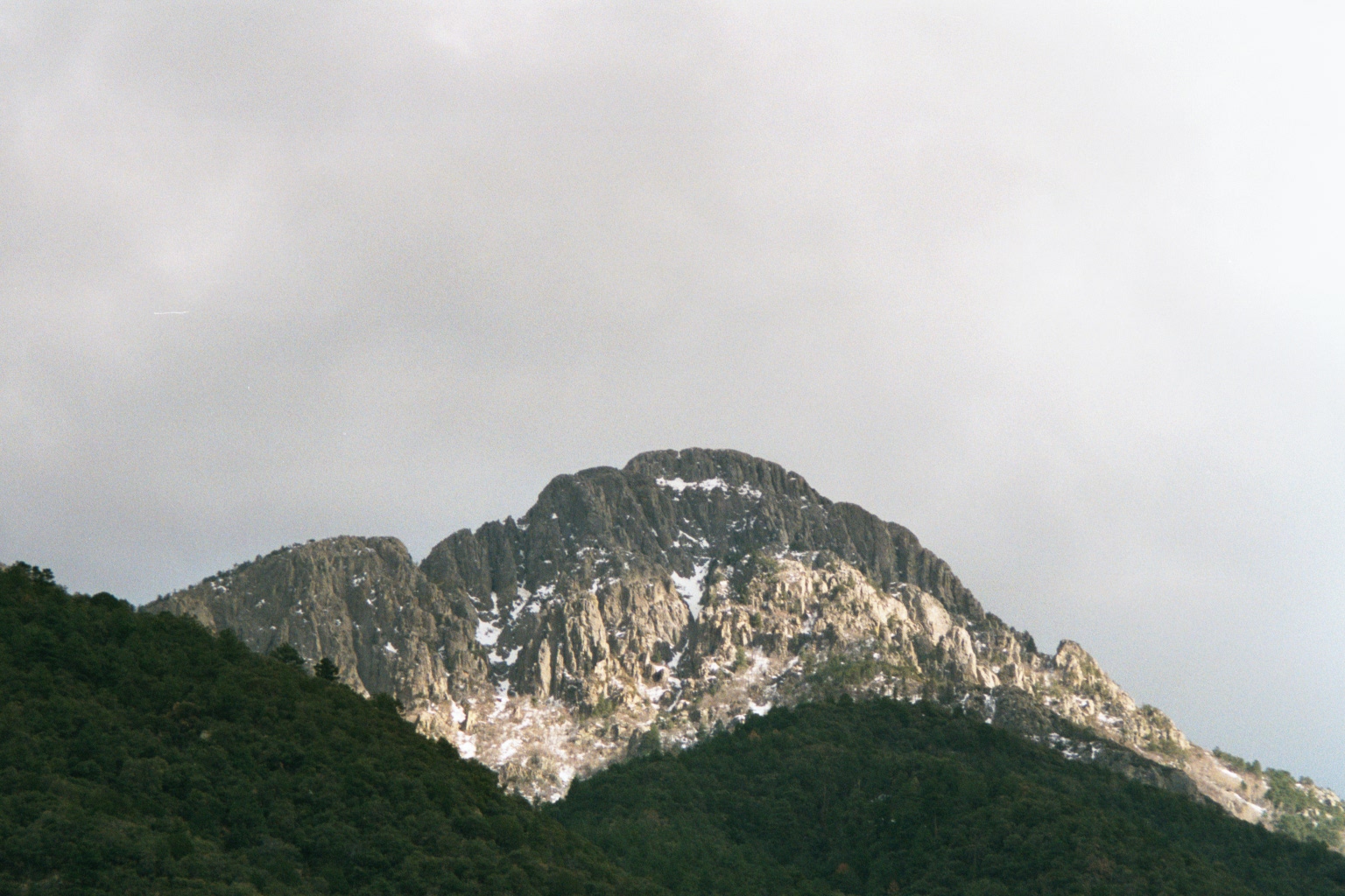
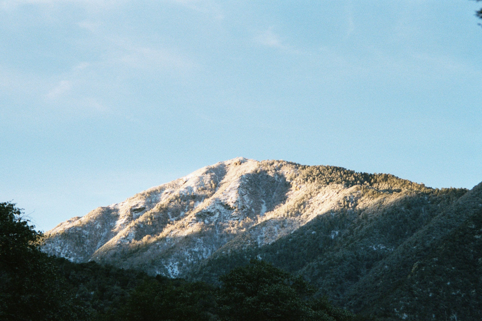
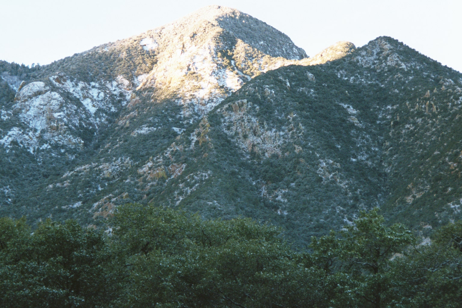
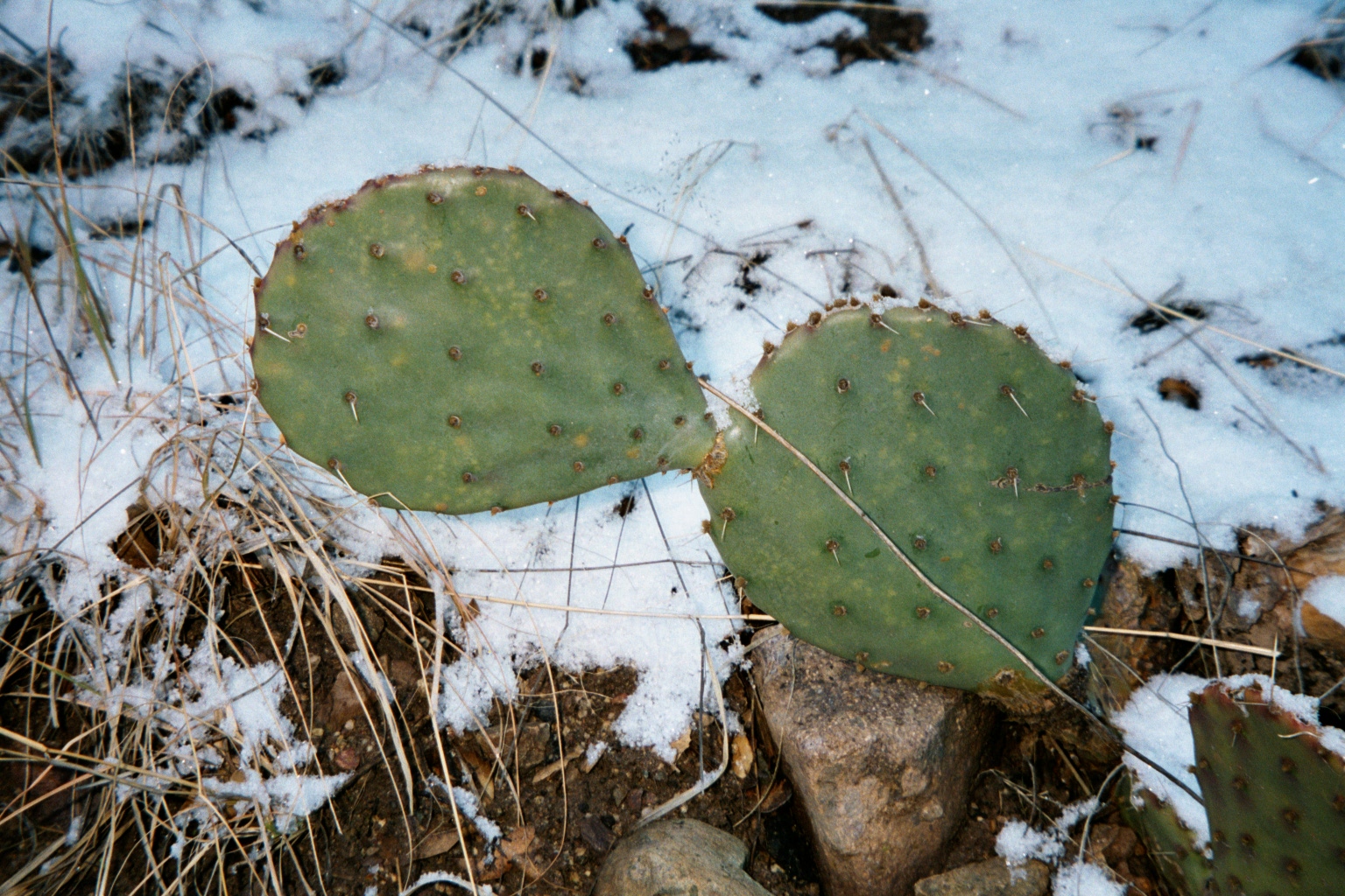
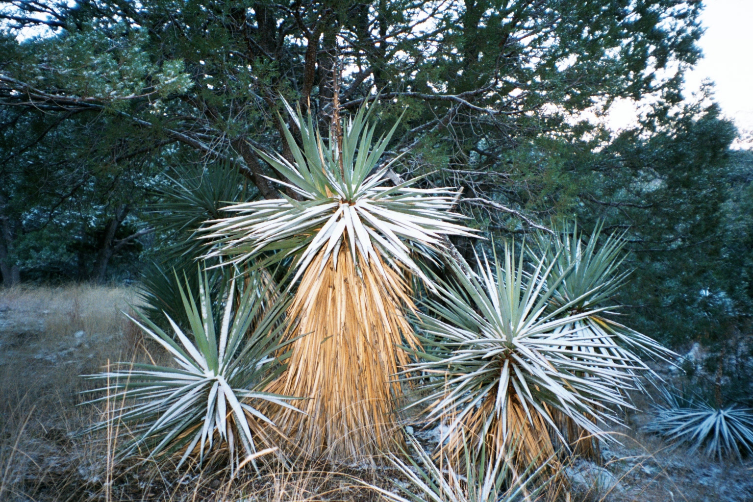
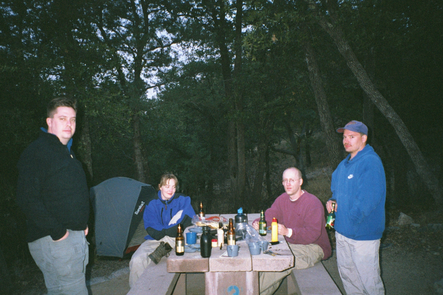
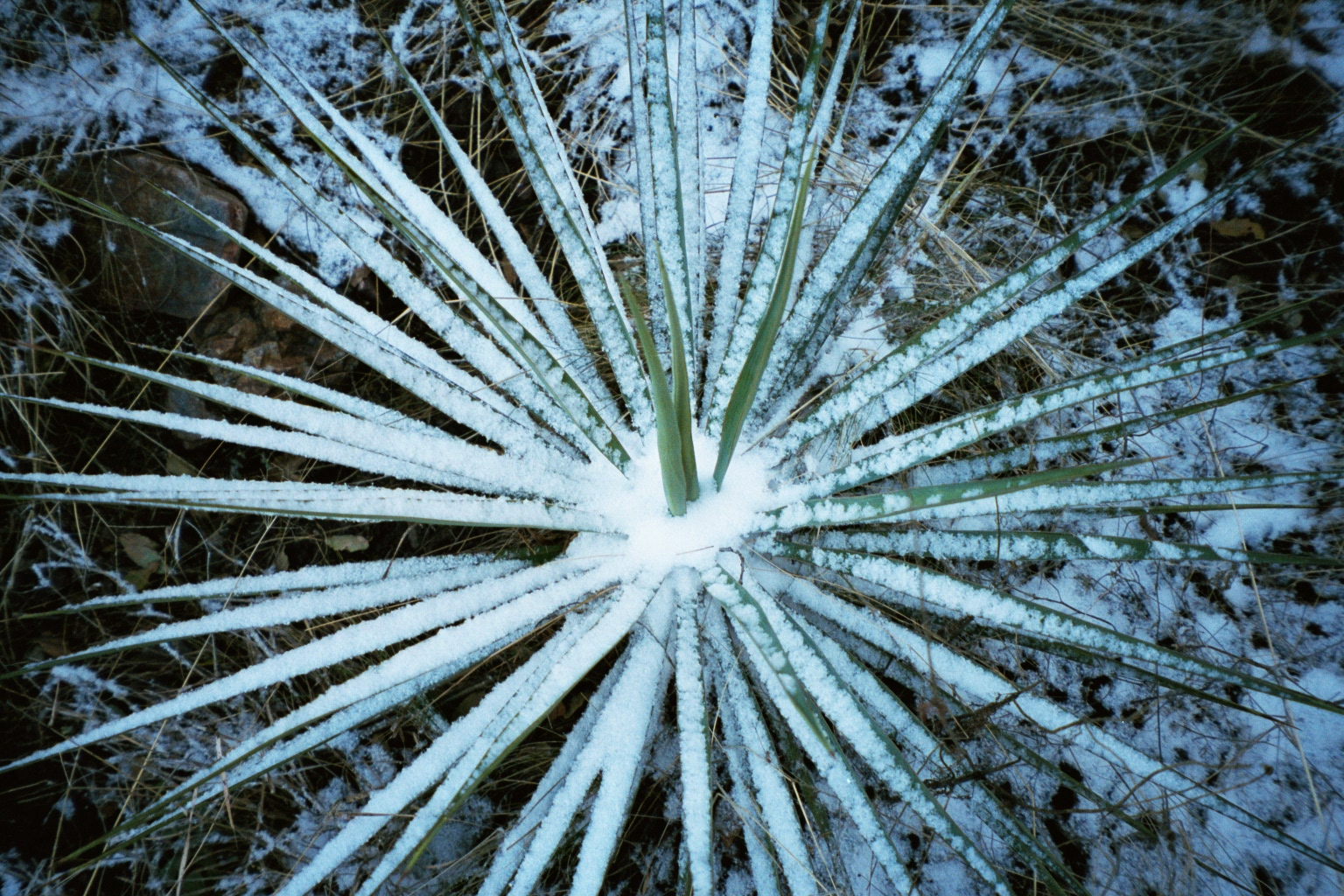
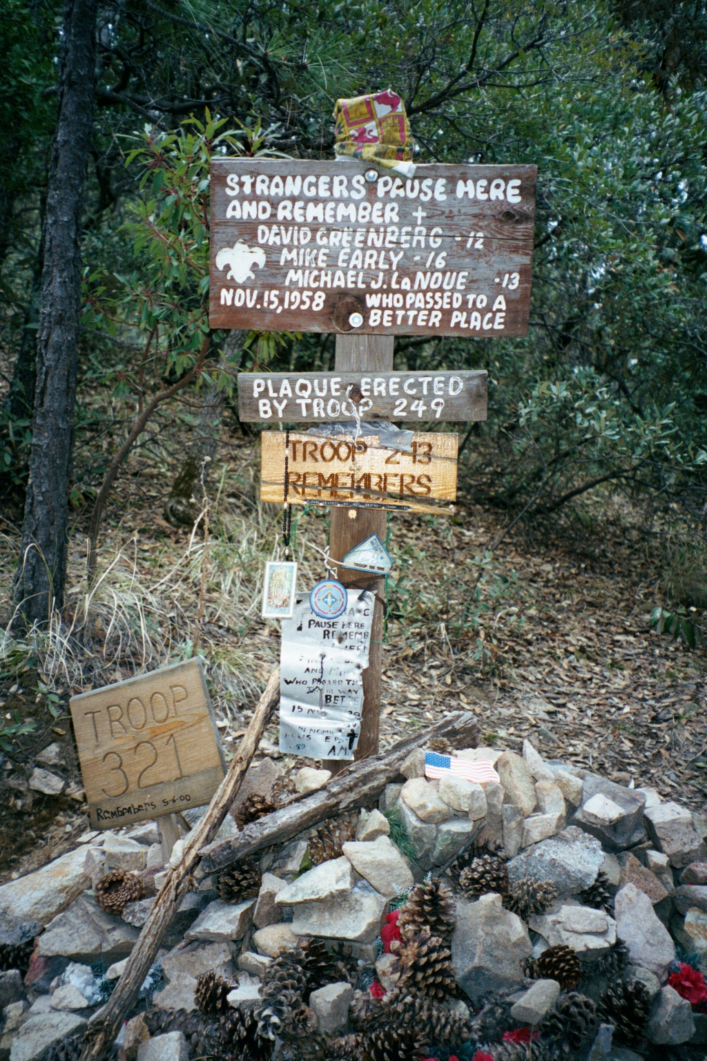
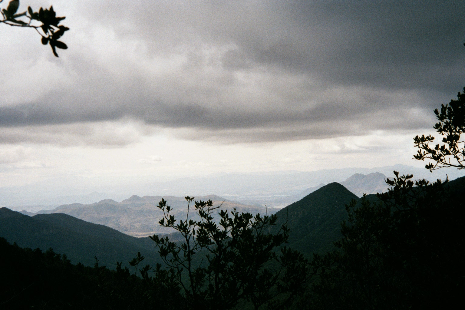
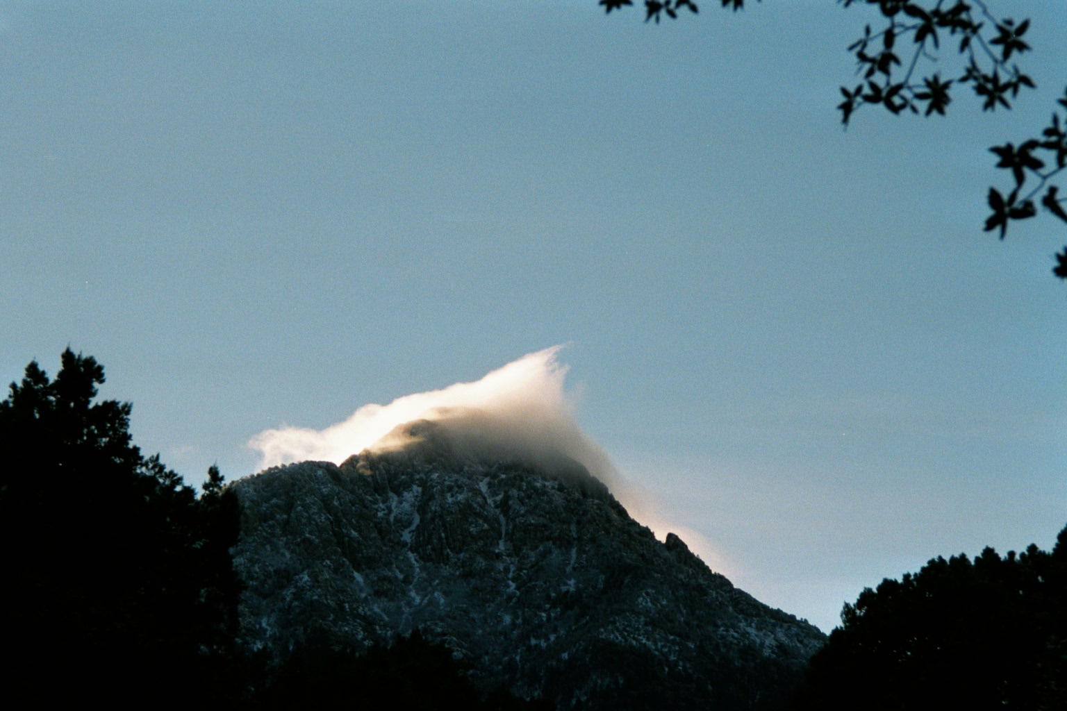
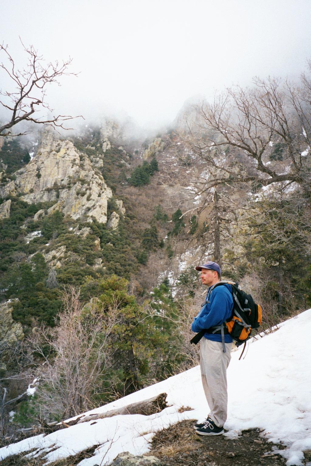
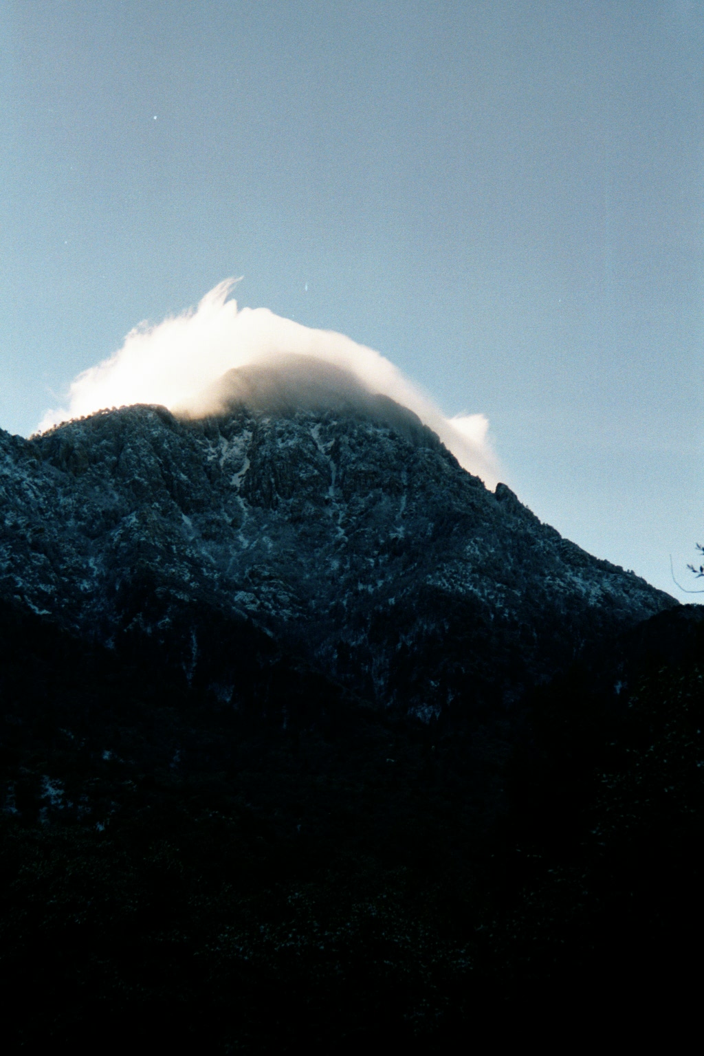
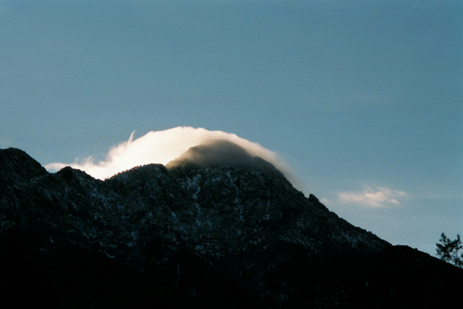
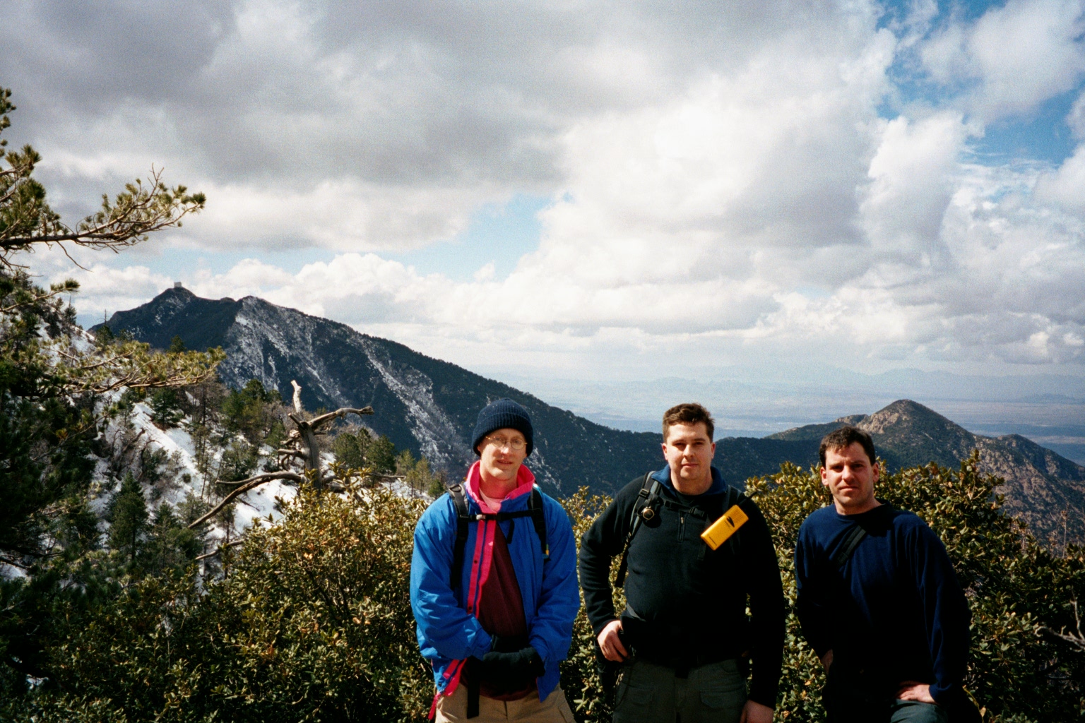
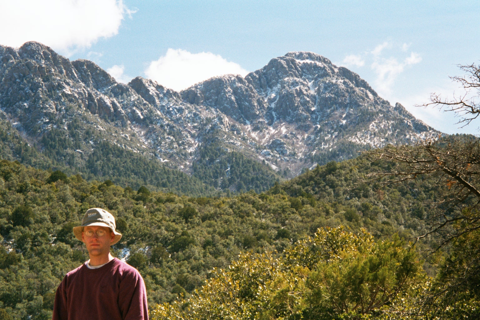
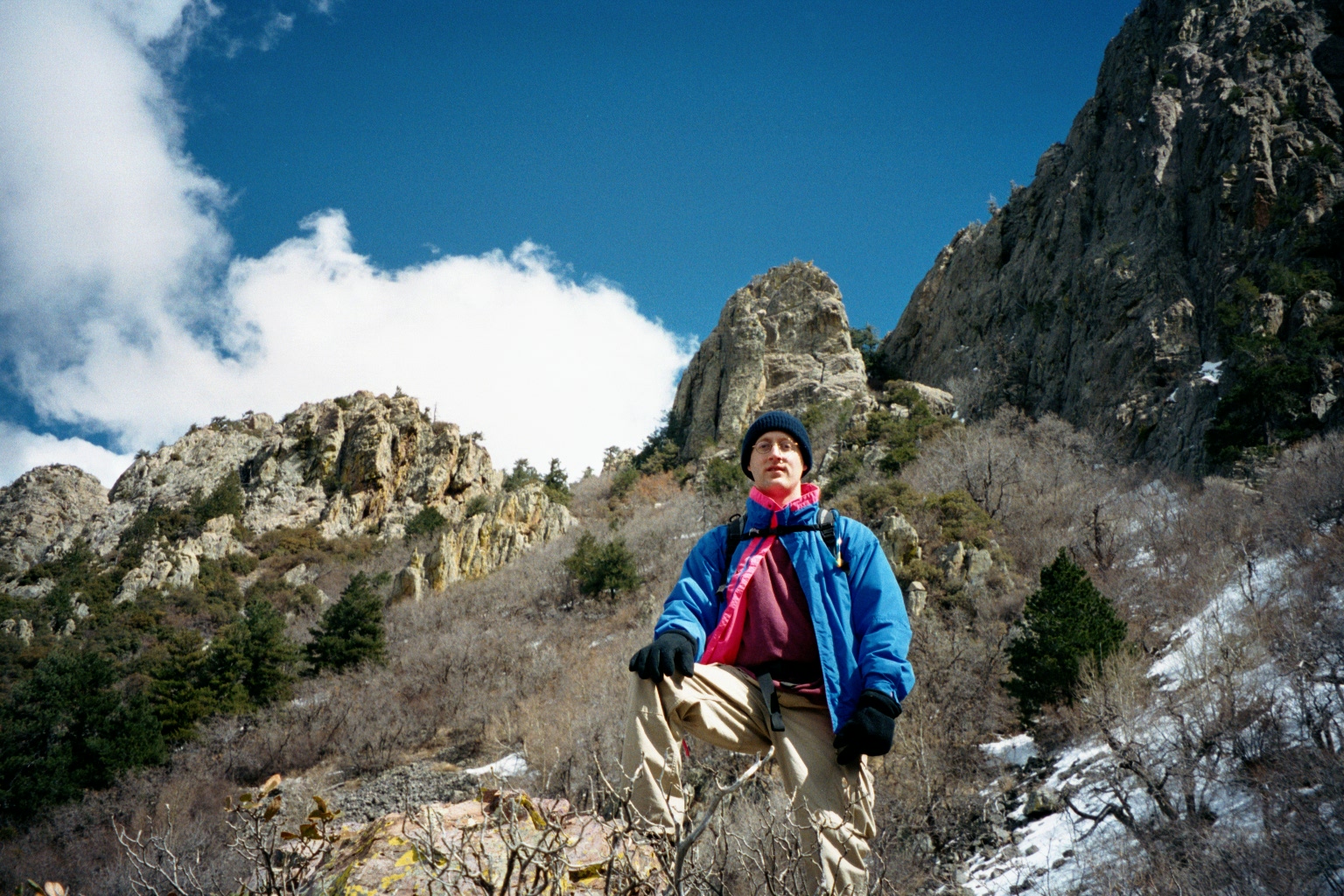
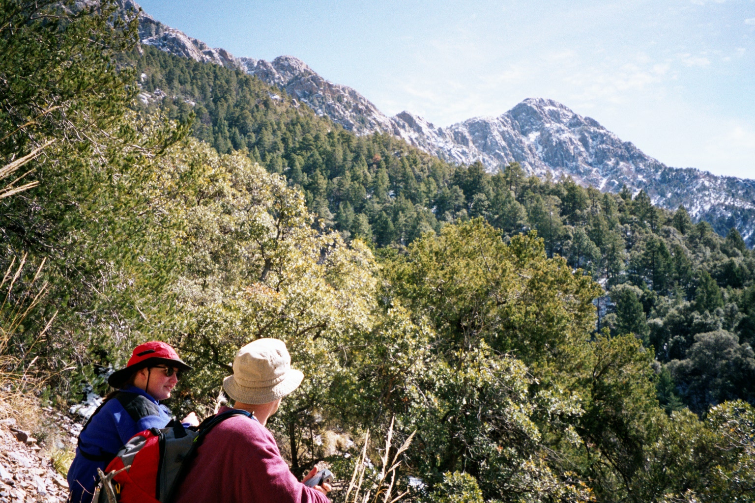
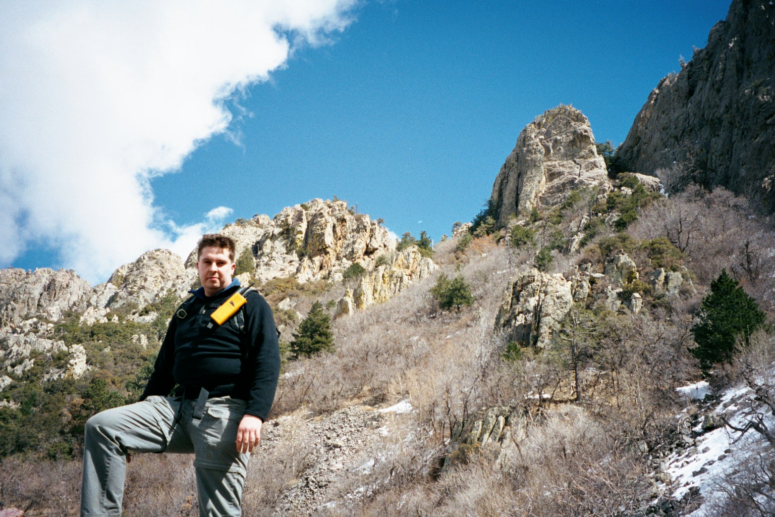
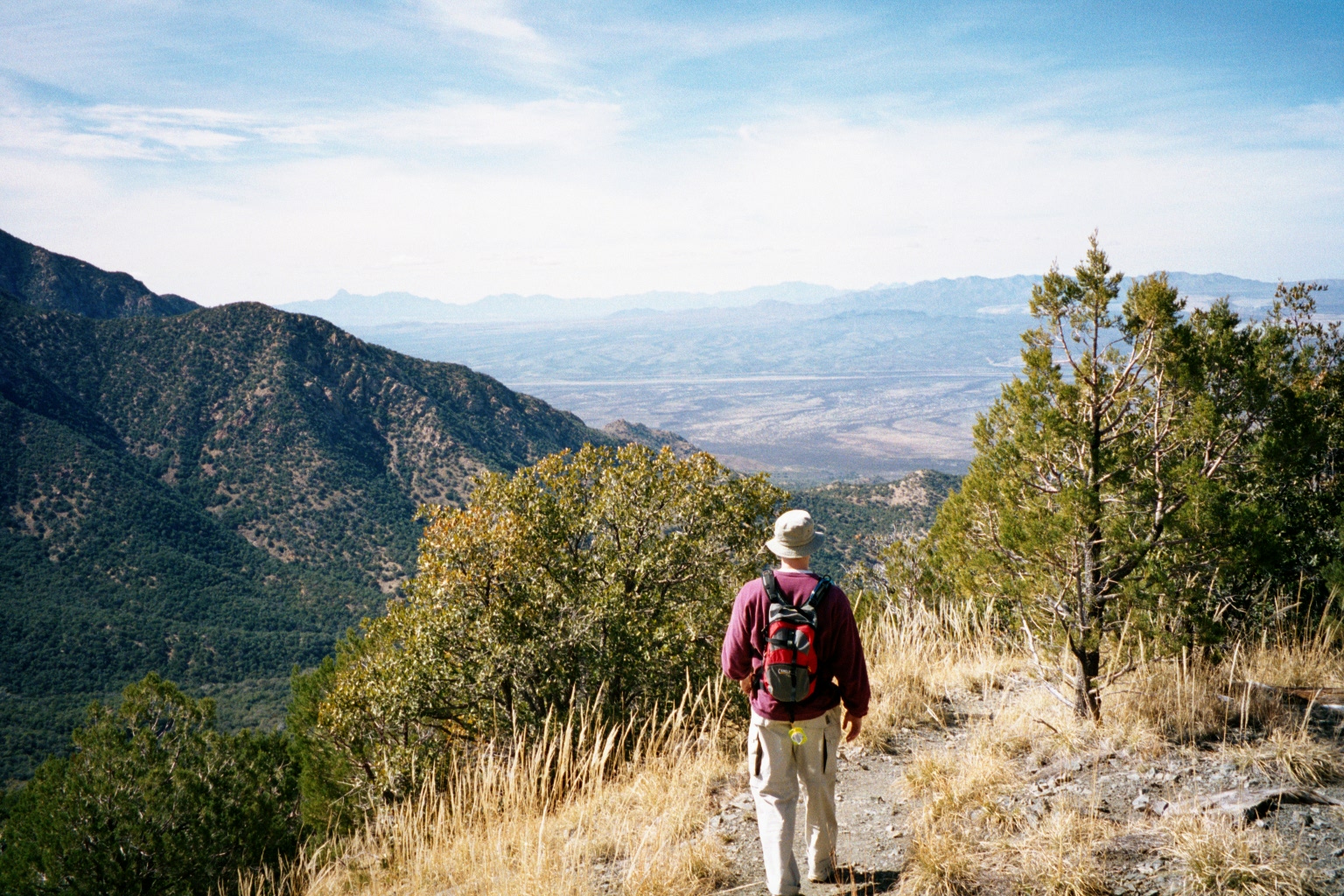
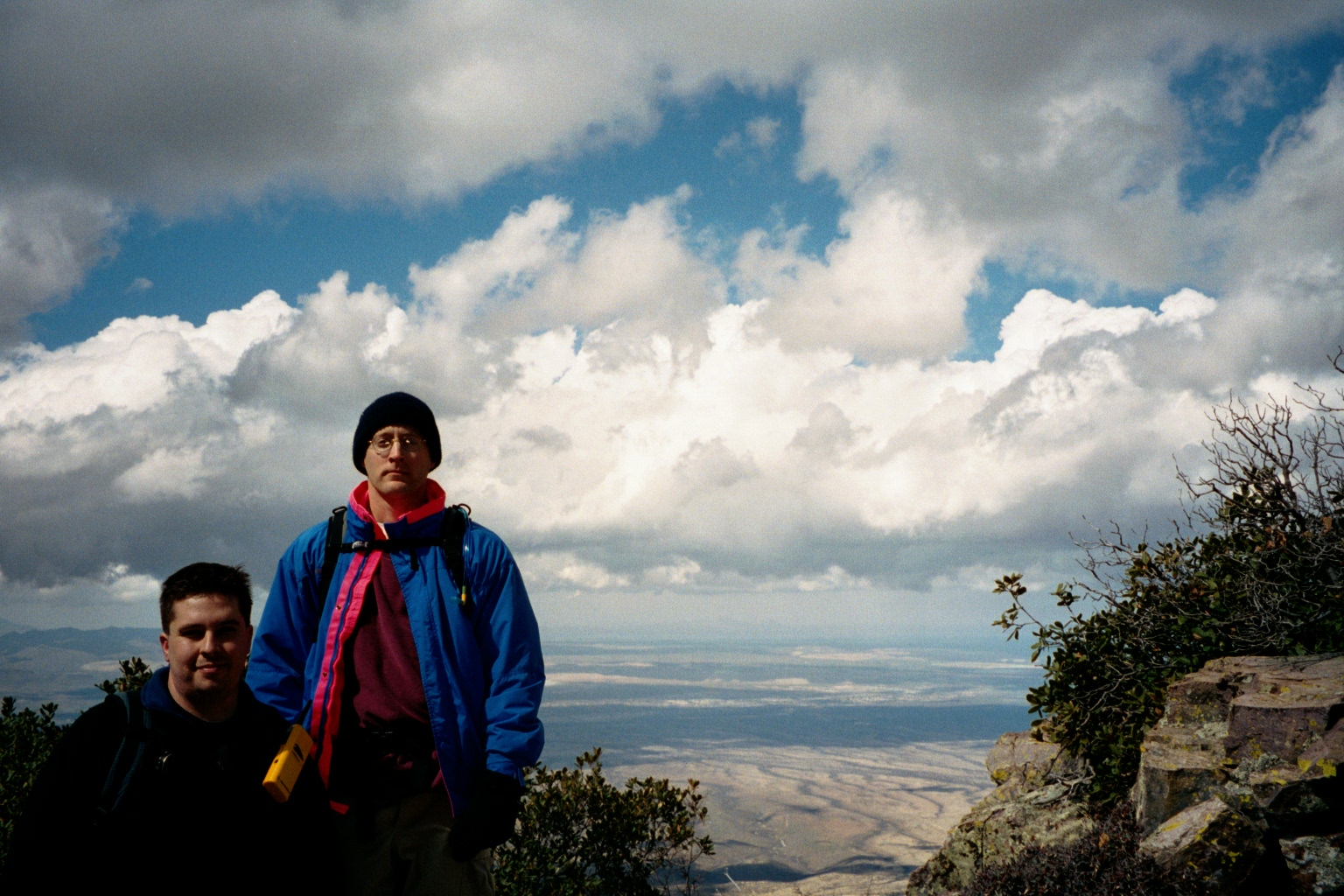
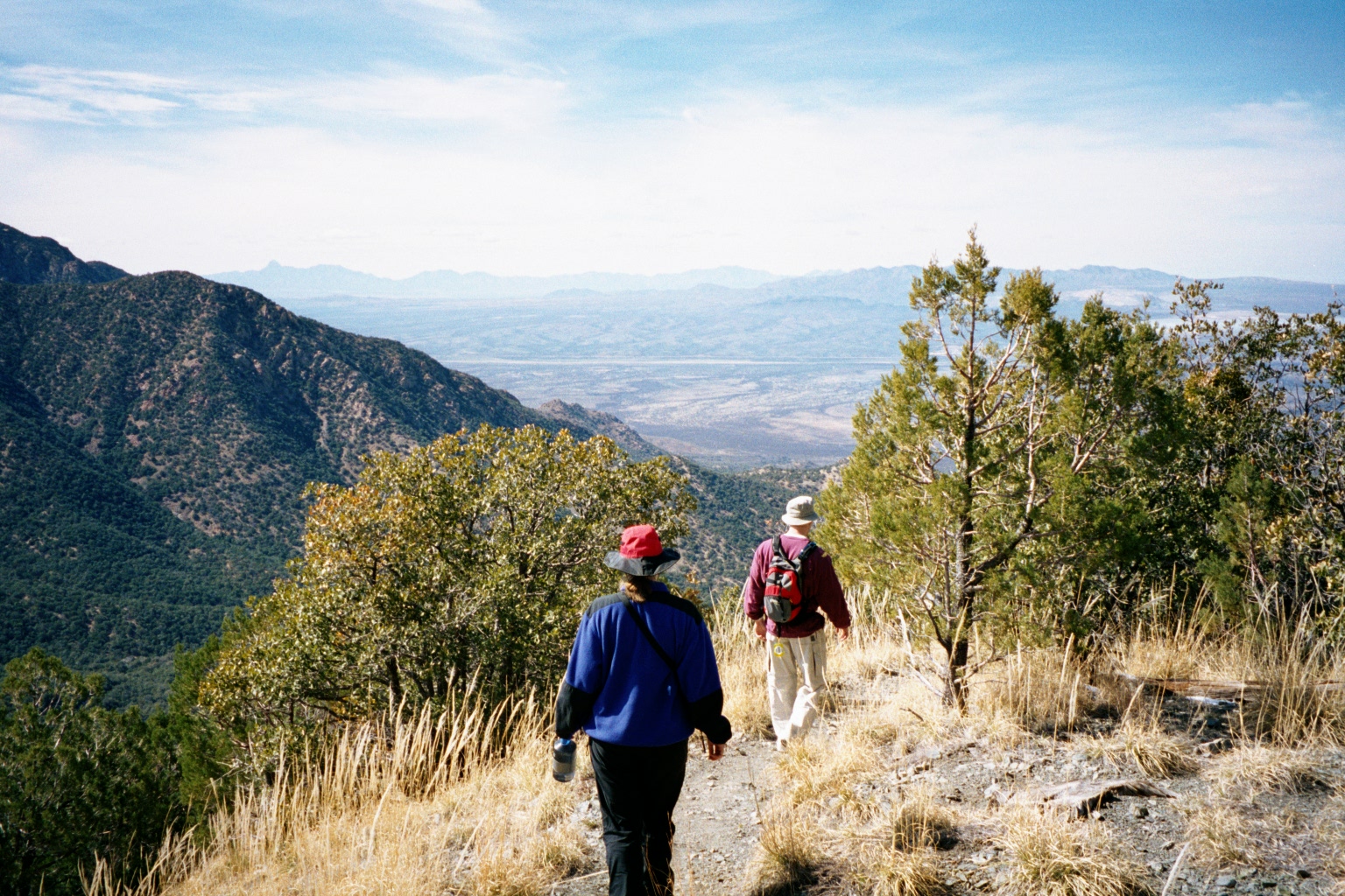
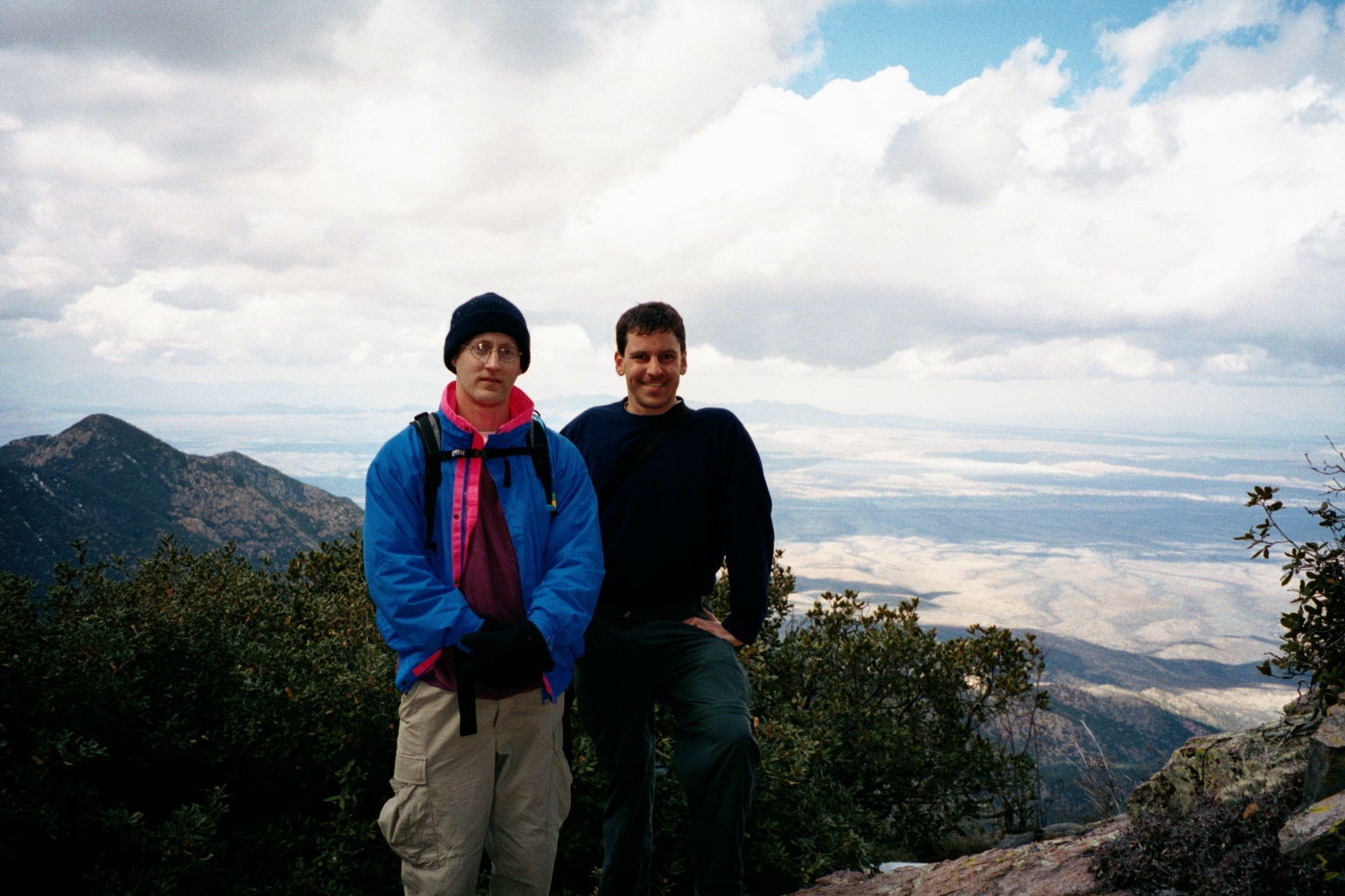
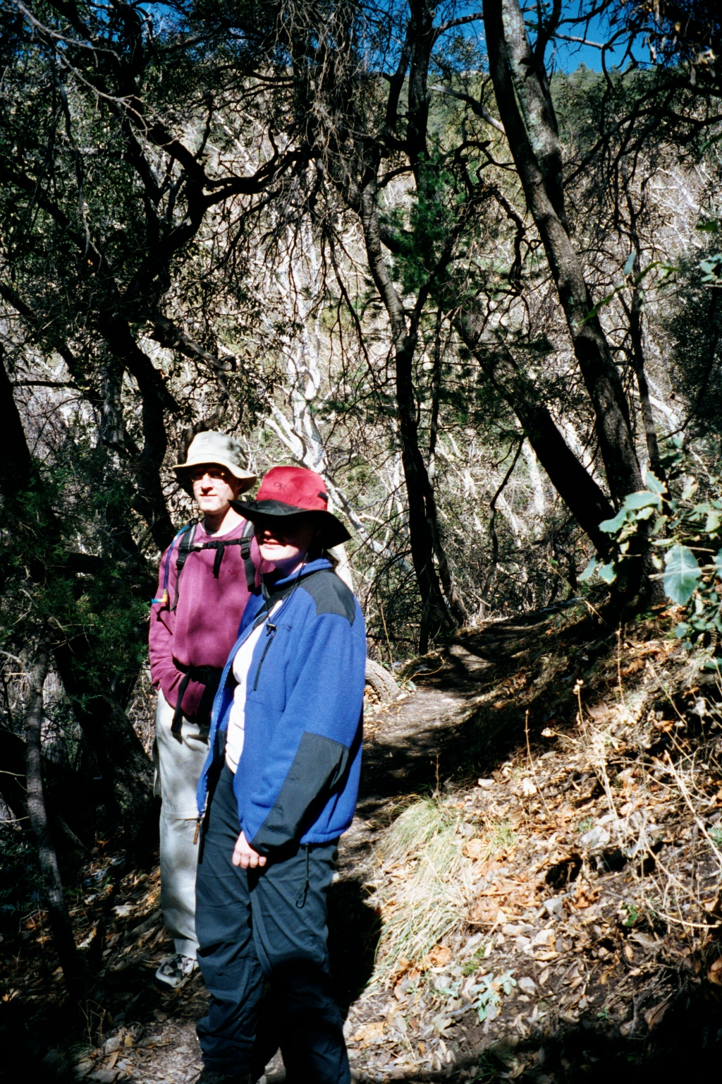
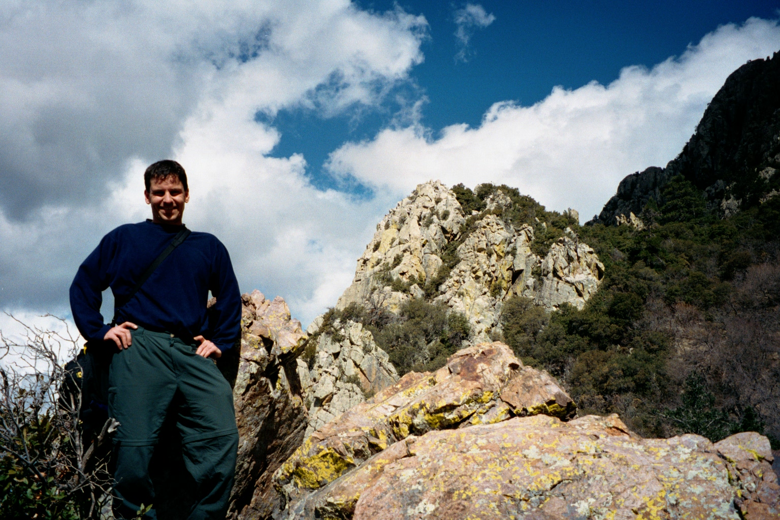
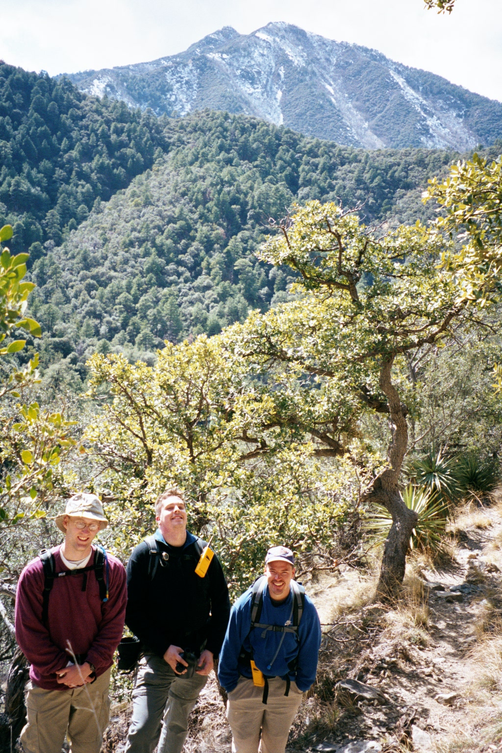
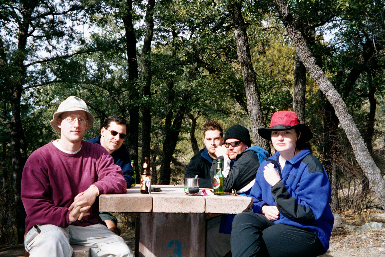
Photo Gallery 2001: Desert of the Real, Mount Wrightson Wilderness Area, Arizona February 21, 2011 dwt Leave a comment
Photo Gallery 2000: Olympic Glory, Olympic National Park, Washington February 21, 2011 dwt Leave a comment
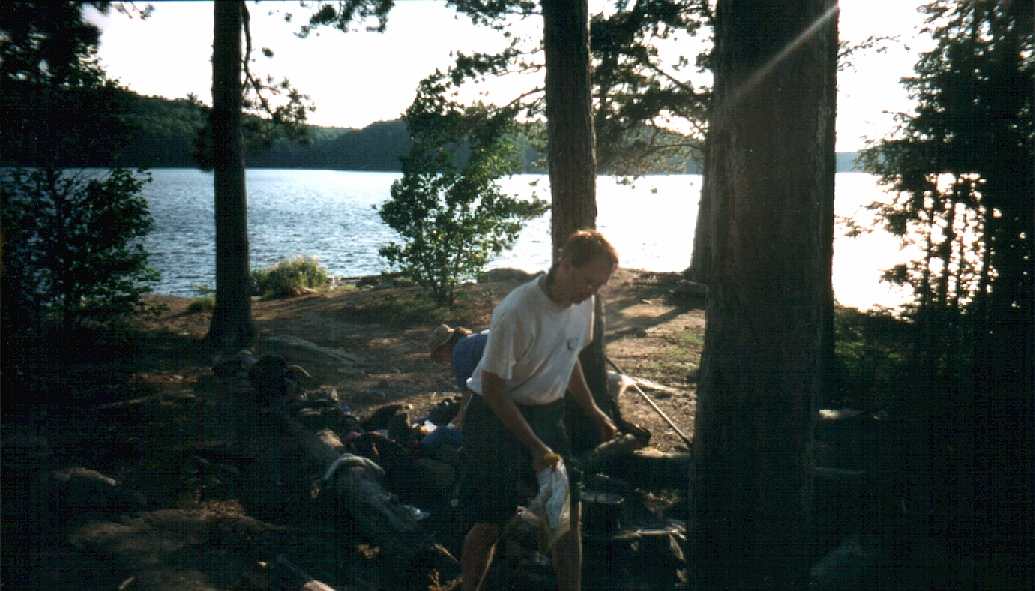
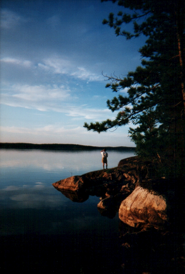
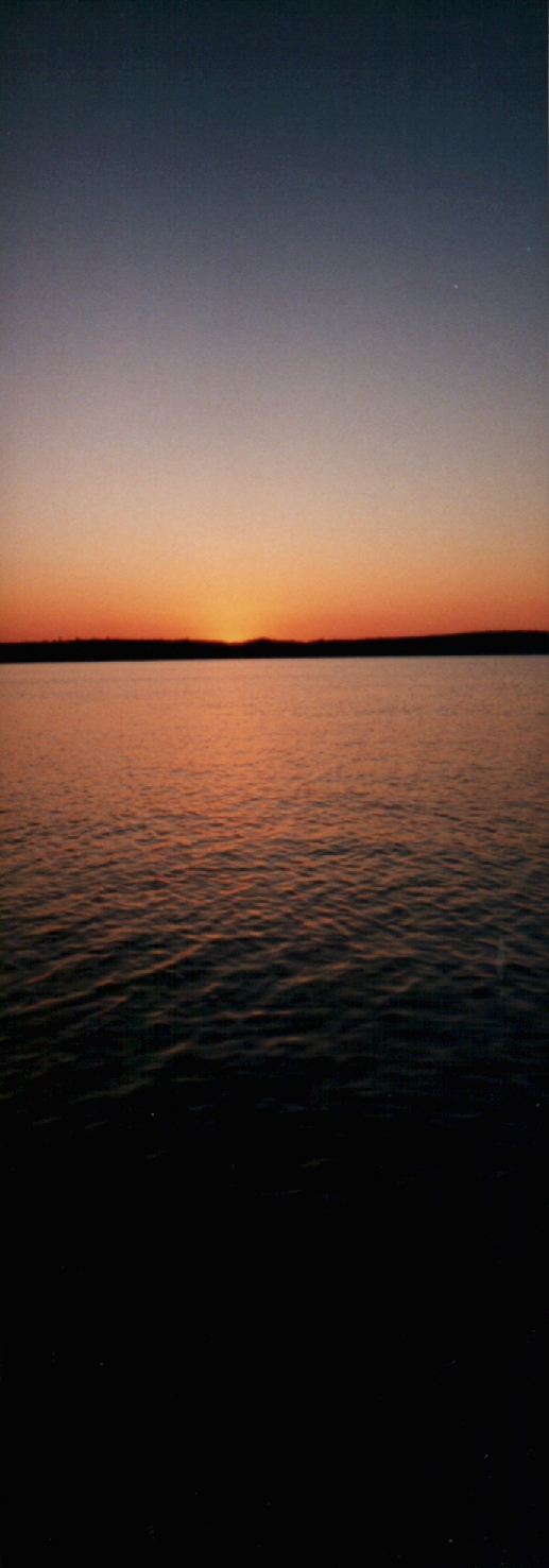
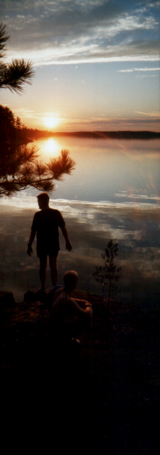
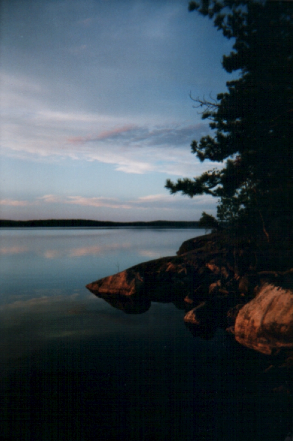
Photo Gallery 1999: Northern Cross, Quetico Provincial Park, Ontario, Canada January 21, 2011 dwt Leave a comment
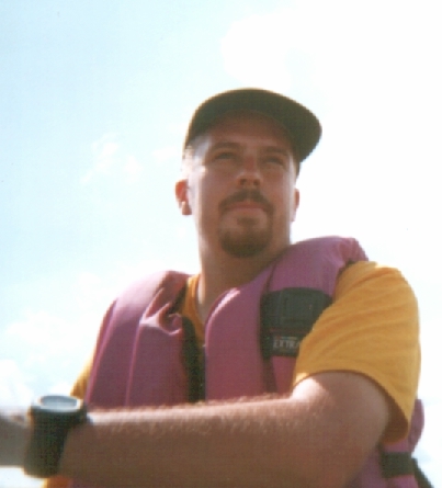
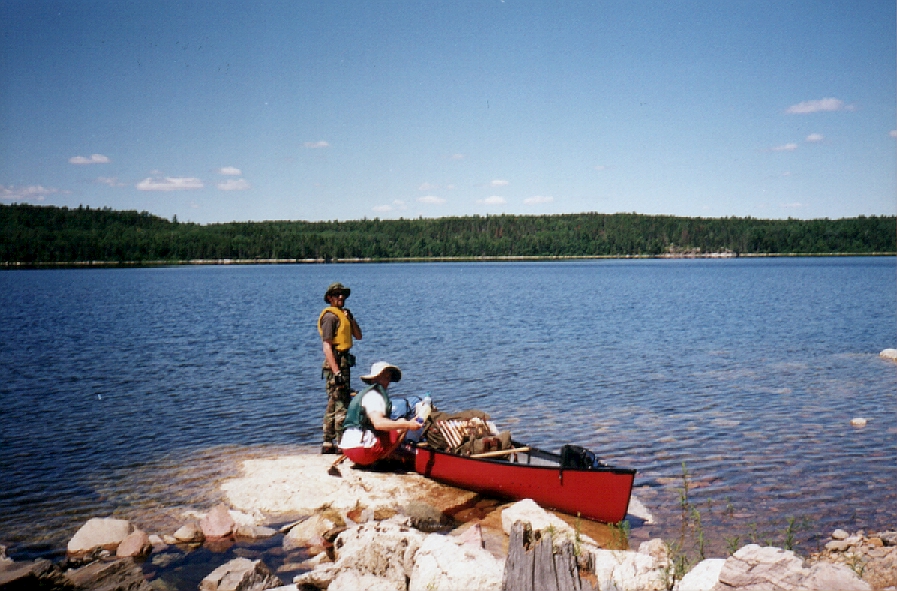
Photo Gallery 1998: Beaverhouse Incident, Quetico Provinical Park, Ontario, Canada January 21, 2011 dwt Leave a comment
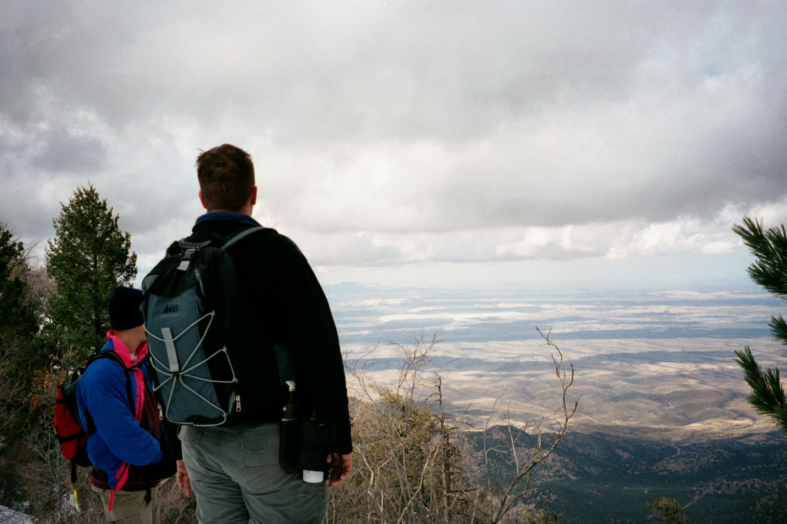
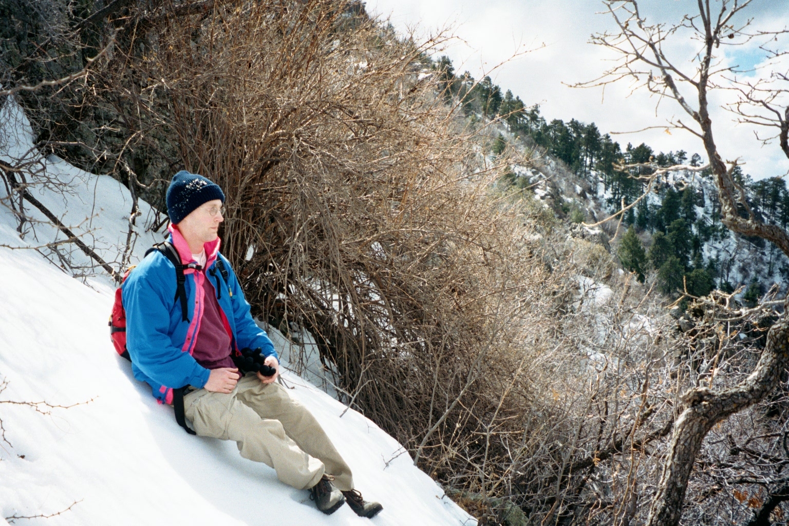
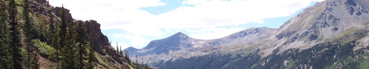
Photo Gallery 1997: Rocky Mountain High, Sangre De Cristo Wilderness, Colorado January 21, 2011 dwt Leave a comment